PROGRESS!!!!!

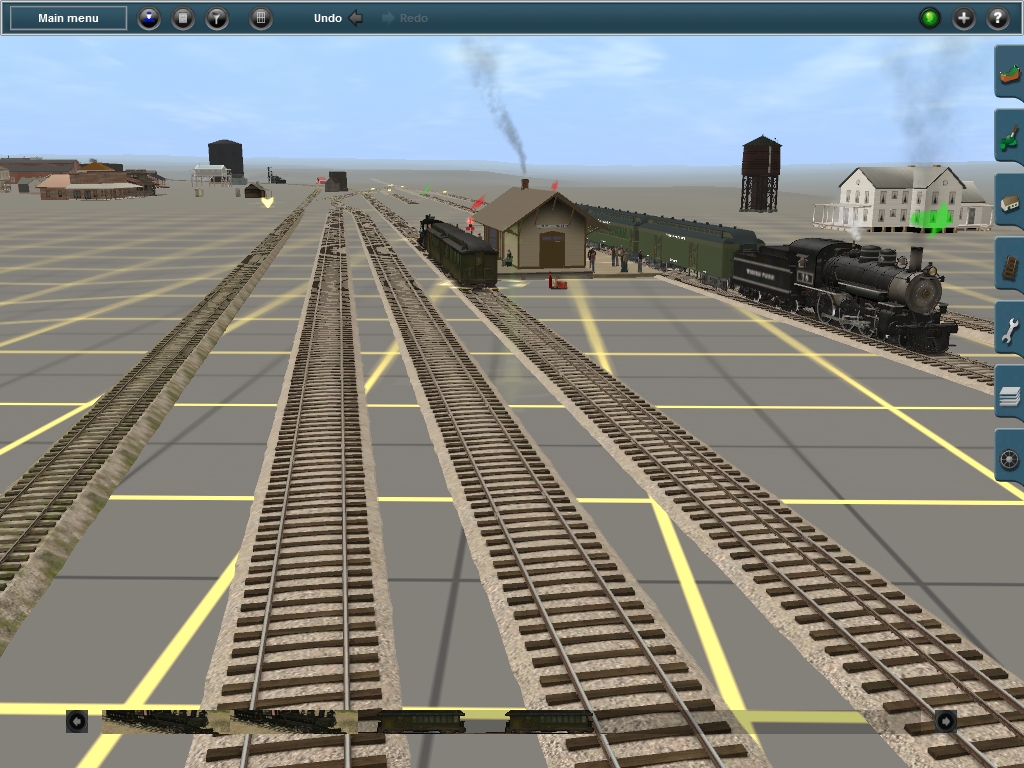
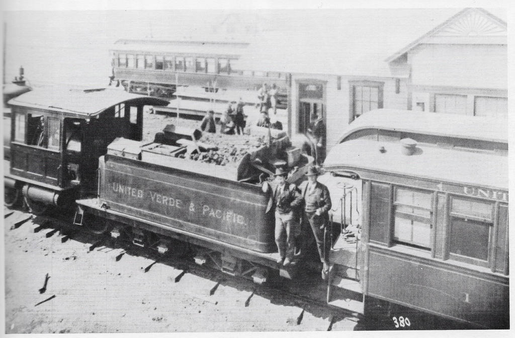
So yes, as promised, for once..., some screen captures of the progress I've been making on the UV&P route. First up is Jerome Junction and.... there's not much here. Not right now at the moment. It's the first of two major challenges, the second being Jerome itself at the opposite end of the line.
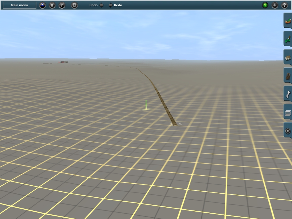
As you can see about the only thing I have here is the roundhouse. Jerome Jct. has a pretty extensive yard with both standard, narrow, and dual gauge tracks. This photo shows what it will eventually look like once I've finished the bulk of the route between points "A", Jerome Jct. And "B", Jerome, AZ.

Sadly only about half to two-thirds of the yard can be seen. The most prominent structure is the one from which the photo was taken. A set of elevated bins which coke was loaded to be transferred to the narrow gauge for shipment to the smelter at Jerome. Oddly the loading trestle and bins are used by the Standard Gauge with the narrow gauge on either side to collect the coke.
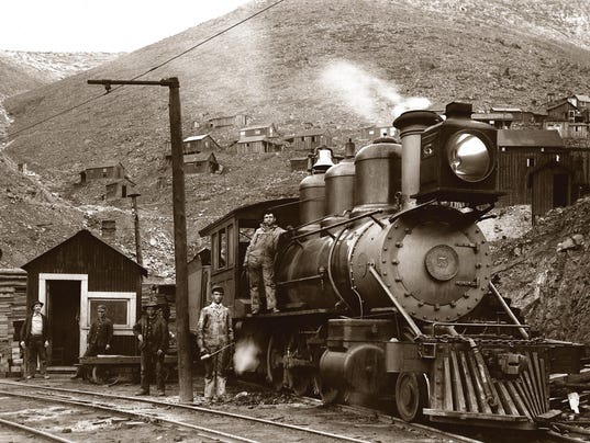
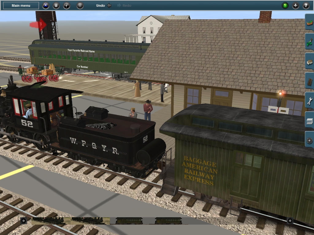
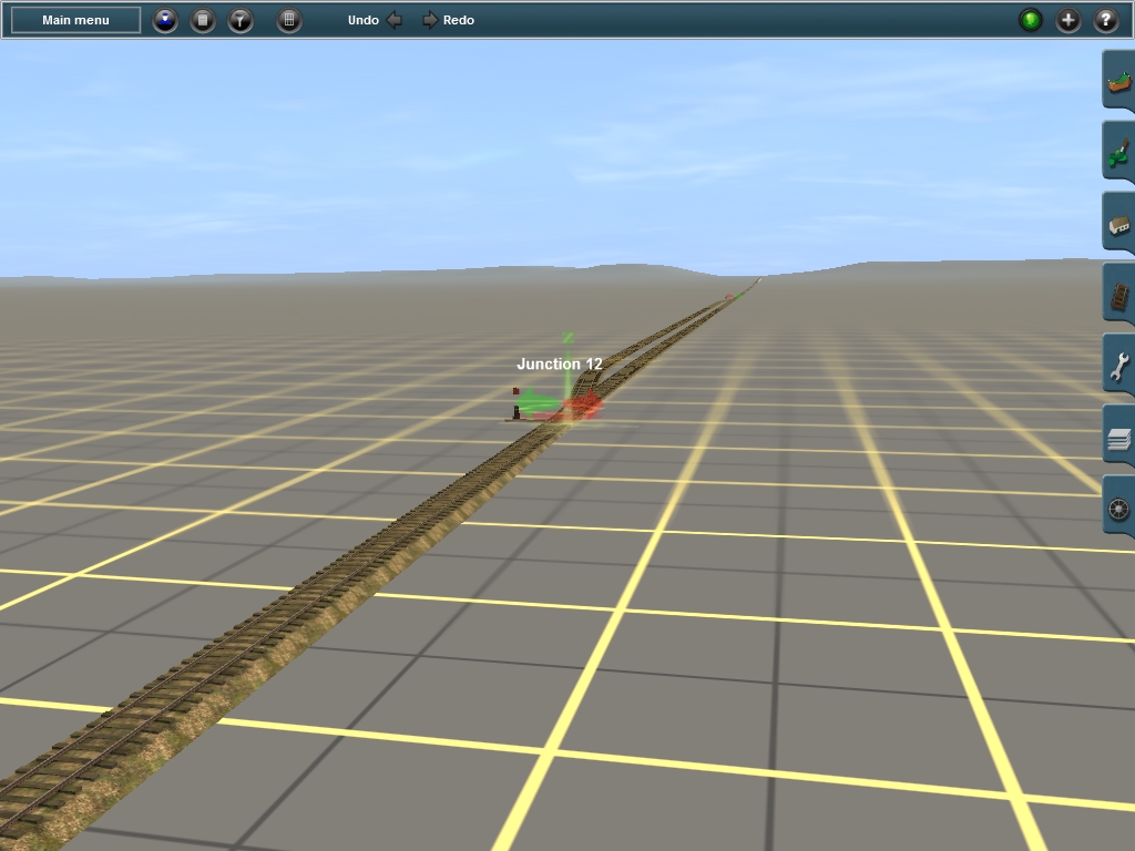
Next up is the round house and wye tracks. Now I've had to make a historical compromise here as there never was a turntable here. The roundhouse was located at the end of the wye tail with a three-way switch leading to the roundhouse stalls. Elevenor's roundhouse looks to be a pretty darn close match to the UV&P roundhouse, but it has the turntable attached... Oh well, I might find something better later on. So for now its a good stand in.
This is East Siding which is located about a half mile east of the wye and is 873ft long.

Just after East Siding is Mile Two Spur, and it's appropriately named as it's located right at milepost two. The spur was 320ft long and used for the loading of cattle. I'm still trying to figure out how exactly I'll add a cattle loading area here as records suggest it wasn't anything significant. So perhaps nothing more than a portable loading ramp? However in the distance is the long trestle spanning Granite Creek.
Here is Davis, located just before milepost 9 and it had a 710ft long siding her. Here there was also a wagon road crossing and where lumber was picked up to be shipped up the to smelter in Jerome for its expansion and for constructing the new engine facilities for the UV&P in Jerome. The portion of the line between Jerome Jct. and Russell, the half-way point of the route, is pretty strait. With only about 6 or 7 broad curves along the way. The only difficulty being that some areas had a varying 2% grade in spots. But along such strait Right-of-Ways that wasn't anything to really worry about.
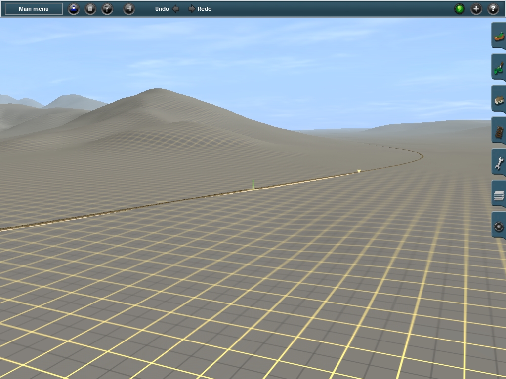
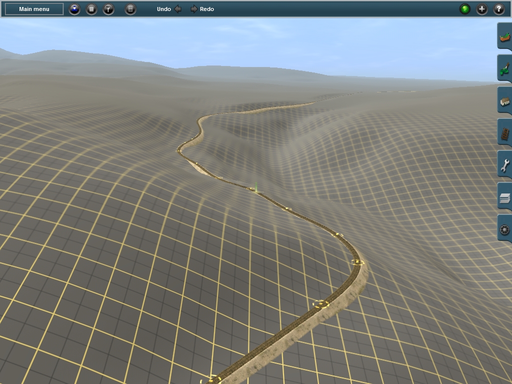
Just past the broad curve at Davis the line again continues strait and now boarders some of the rough terrain that it will soon be navigating. This is just a foreshadowing of the steep grades and exceedingly sharp curves this line with traverse.
Russell, the half way point between Jerome Jct and Jerome, AZ. Here there was a 698ft siding as well as a 270ft spur. This is approximately milepost 12. Obviously the siding and spur have yet to be added as most of my focus is on the route itself. Once the grading is complete I'll come back and place in the sidings and spurs where appropriate. But from this point on the journey becomes far more treacherous...
As an interesting side note, Russell was originally known as "Summit". As at the time this would have been the highest point on the UV&P. However surveyors wanted to avoid some of the harsher canyons and gulches further down along the slopes of Woodchute Mt. and so at Bodkin the grade began to climb again.
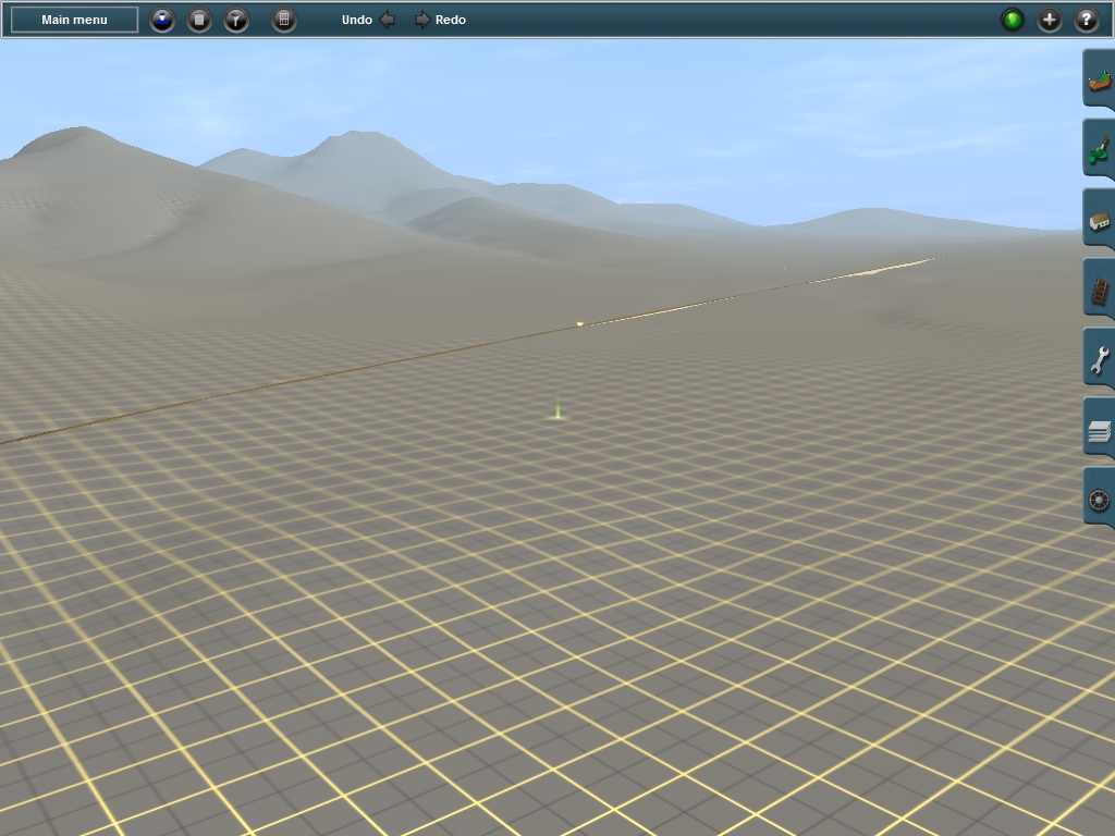
In the distance you can see a somewhat shallow cut. Just behind it is Russell and now the line descends and the curves are almost non-stop from this point on with only a few brief sections of strait grade.
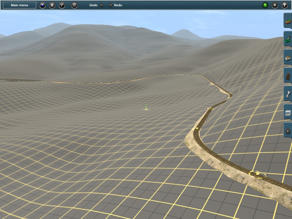
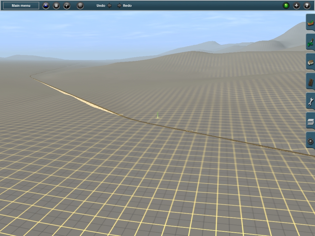
Continuing around the "hill" from the previous shot the grade continues to drop. The grade here varies between 2 and 3% and so operating on this line will be a challenge. Sadly I don't have an accurate track profile so I don't know what the grades were in reality. So I've been making educated guess' by raising and lowering the track to get what looks 'right' compared to its position against the landscape. I feel it's pretty darn close despite not being totally accurate.
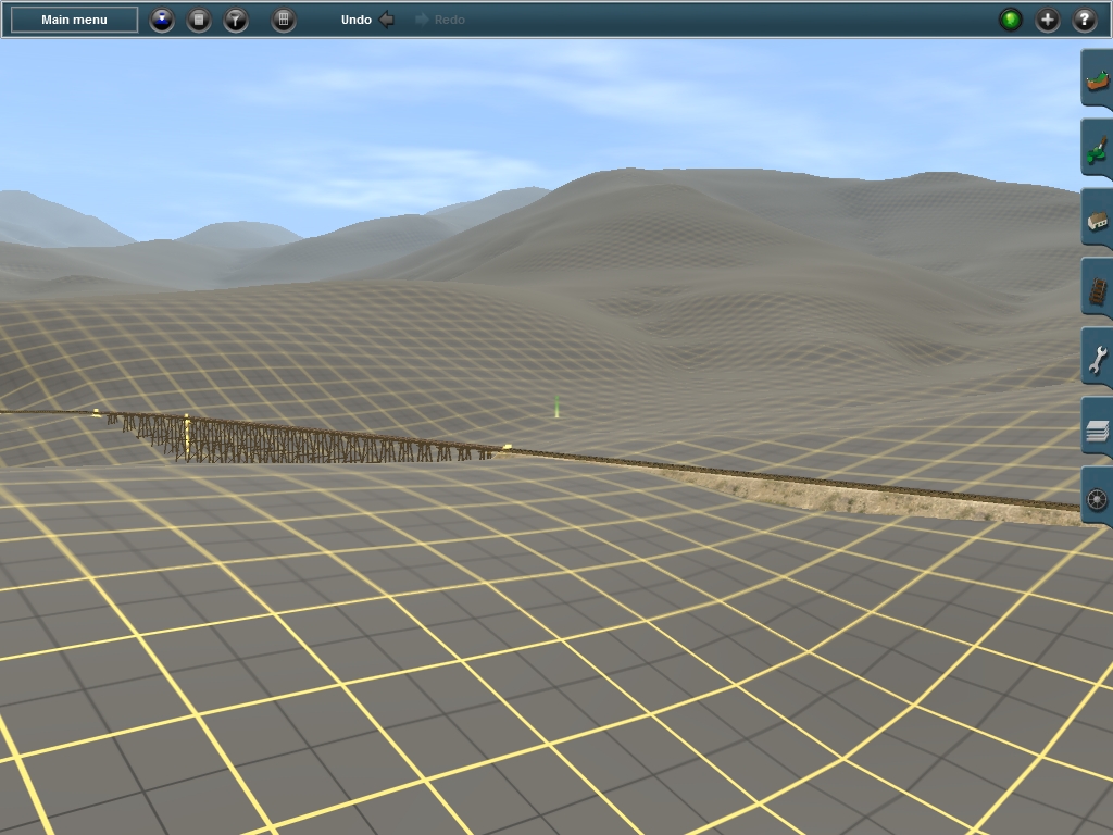
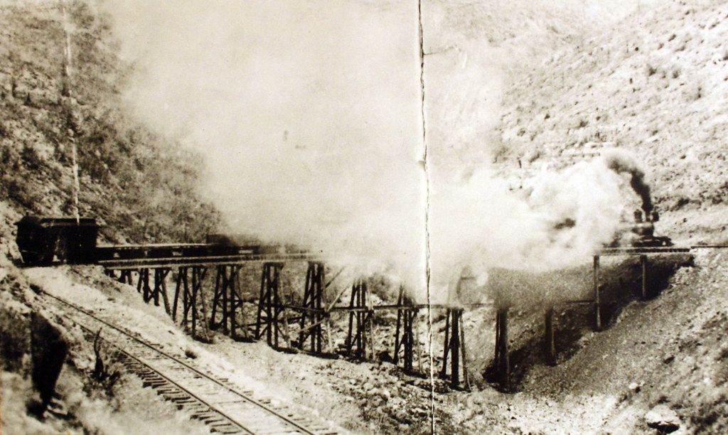
Here is the first major bridge site after Russell. With this rendition of the UV&P I'm depicting it as it appeared between 1894 and 1900. By 1900 most of the bridges were removed and grade relocated via fill and culvert. Here the grade would have continued around the hill and then curved up to reconnect with the existing grade, completely bypassing the trestle. All in all I may end up making three versions of the UV&P. 1894-1900, 1900-1911, and 1911-1920. The second verison of the route would include all the grade relocations and one the relocation of the depot in Jerome. (More on that in another post) The third version is the UV&P's twilight years as in 1911 a new standard gauge line was built branching off from the SFP&P about 17 or so mile north of Jerome Jct. This new line then found its way to Clarkdale where it was decided to relocate the Jerome Smelter. Not to mention copper deposits were found beneath the Jerome smelter itself. So all this completely bypassed the UV&P and thus made the little narrow gauge line obsolete. And so it was abandoned in 1920. Kind of sad if you ask me...
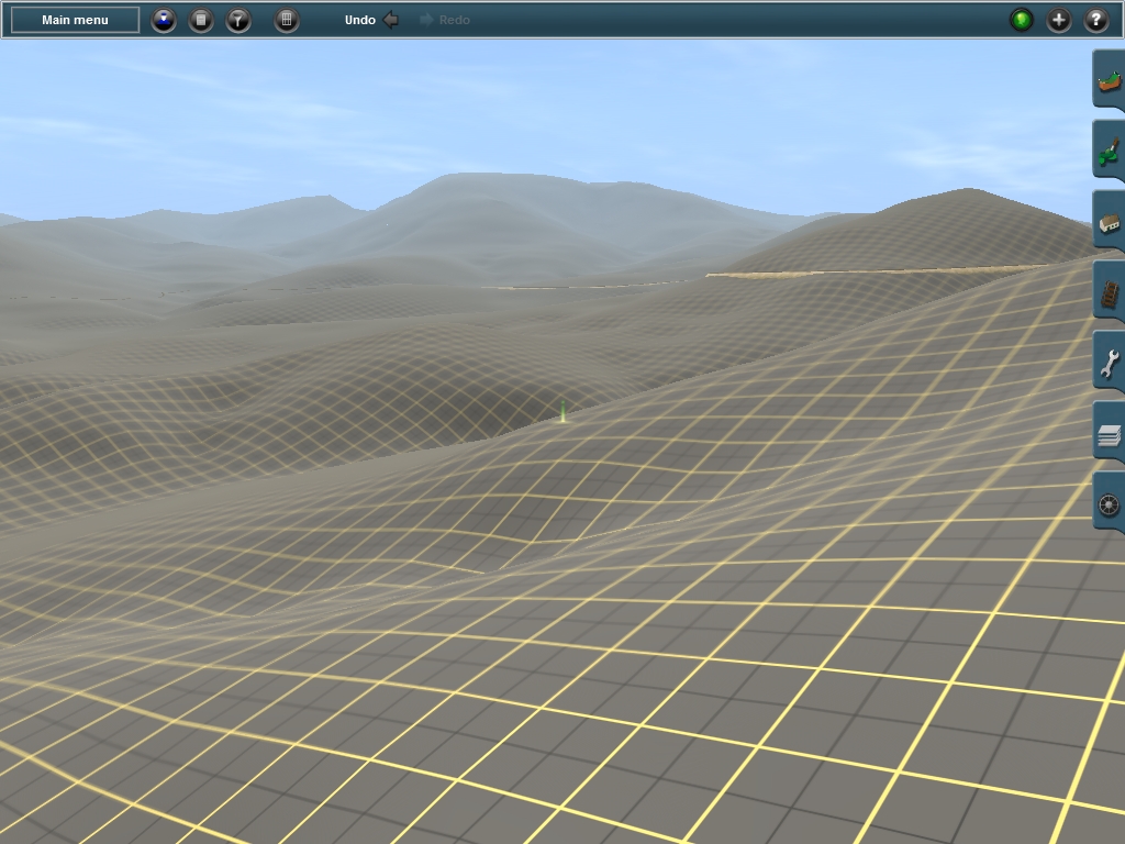
Here is a shot that I hope conveys the sort of topography that the little UV&P had to negotiate. These are just the beginnings of the serrated slopes of Woodchute Mt. and as you can tell it's already pretty rugged. And it only gets tougher from here! The closer the line gets to Jerome the more jagged the slopes of the mountain get. This should look stunning once everything gets textured and planted. And It will look even more so in TANE since it shows better depth with scenery. The view of Woodchute Mt. looming in the background would be really cool to see. But for now I'm sticking with TRS12.

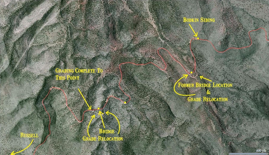
Above is a shot from an aerial map of the section I'm presently working on. Russell is just out of frame to the lower left and the arrows note key locations and progress points. Some of the track is 'graded' past the first trestle, but most of it from here to Bodkin still has yet to be done.
Well I certainly hope I was able to capture your attention. And thanks again, Curtis for making the map! As you can see I'm putting it to good use!